
Seismic Data Processing & Imaging.
Our Lagos processing centre brings acquisition geometry, signal conditioning, velocity analysis and migration into one traceable workflow.
All capabilitiesTechnical scope.
Time & depth migration
Build and update well-tied velocity models for pre-stack time and depth migration. Examine residual moveout on migrated gathers to guide model updates. Select Kirchhoff, reverse-time or least-squares migration to suit the geology and data.
High-resolution geohazards
Separate upgoing and downgoing wavefields in ocean-bottom recordings. Use mirror migration and multiple attenuation to resolve shallow reflectors for geohazard interpretation.
Structural imaging
Use curvature attributes to highlight changes in reflector shape. Diffraction imaging helps examine small discontinuities, while azimuth-sector comparisons test how the response varies with source–receiver direction.
Amplitude & multicomponent processing
Apply deghosting, surface-consistent corrections and five-dimensional regularisation. Condition angle gathers for AVO/AVA analysis and cross-equalise repeat surveys for 4D studies.
How the images informed planning
Operators reported revising prospect rankings and reconsidering a proposed well’s surface location and access route after reviewing seismic images from earlier projects.
From our technical work
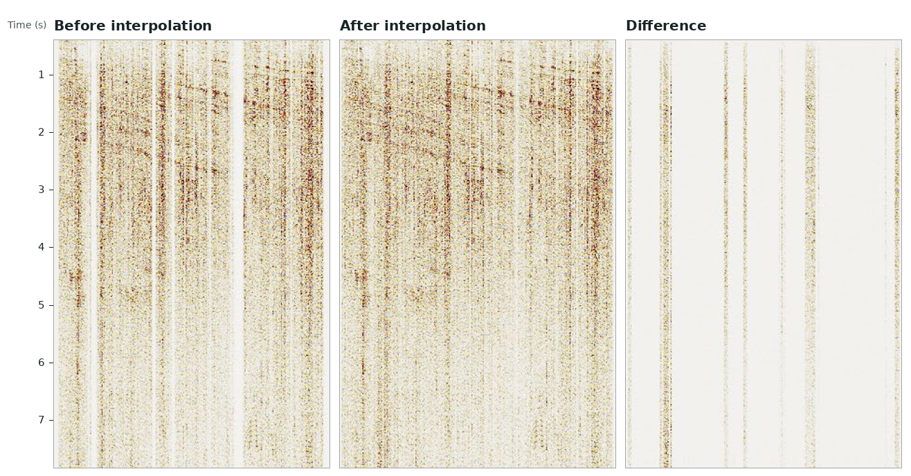
Where interpolation added traces
In this earlier land survey, the first two panels show the same offset range before and after interpolation. The difference panel isolates the estimated traces in gaps between recordings.
Open full size — Where interpolation added traces (opens in a new tab)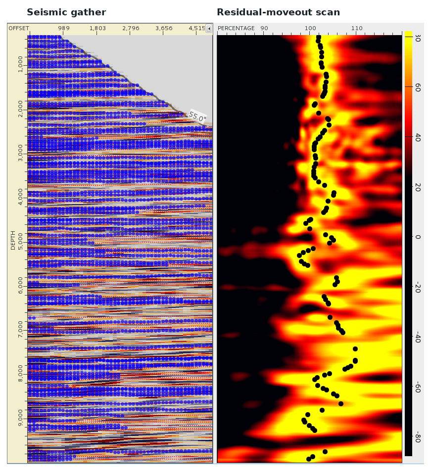
Picking residual moveout
In a previous land imaging study, the gather and percentage scan cover the same depth interval. The black picks follow the scan response used to assess residual moveout in the velocity model.
Open full size — Picking residual moveout (opens in a new tab)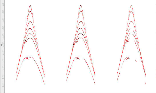
Synthetic shot gathers
Three synthetic shot gathers for the finer land survey layout. The curved events show how modelled reflection travel times vary across receiver channels.
Open full size — Synthetic shot gathers (opens in a new tab)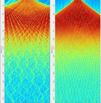
Spatial aliasing in two layouts
Frequency–wavenumber spectra for the coarser layout (left) and finer layout (right). In these synthetic gathers, spatial aliasing appears at about 23 Hz and 44 Hz, respectively.
Open full size — Spatial aliasing in two layouts (opens in a new tab)