
Seismic Acquisition & Support.
We design land and marine surveys around the reflections that matter to the interpretation. Before mobilisation, we test how alternative source and receiver layouts sample those targets.
All capabilitiesTechnical scope.
Seismic acquisition survey design
Tie well-log synthetics to existing seismic and build a geological velocity model. Compare candidate layouts along strike and dip. Test station spacing, bin size and the available offsets against the required resolution and acquisition cost.
Target illumination studies
Trace rays through a depth-domain velocity model using the planned source and receiver positions. Map where rays reach the target, examine gaps in coverage and assess how uncertainty in the velocities affects the prediction.
Marine, land & time-lapse acquisition
Support 2D, 3D and 4D programmes, from land and transition zones to marine streamers and ocean-bottom nodes (OBN).
4D geometrical repeatability
For a proposed onshore 3D programme, VerityGeo set out a first test for possible 4D monitoring. Compare the planned source and receiver positions with the vintage acquisition. Check coverage, offsets and azimuths over the reservoir. If the geometries are sufficiently repeatable, assess whether the expected reservoir change would be detectable at the proposed survey time.
Field QA/QC & Nigerian Content
Review field deliverables, monitor survey execution and record Nigerian Content performance alongside acquisition quality.
From our technical work
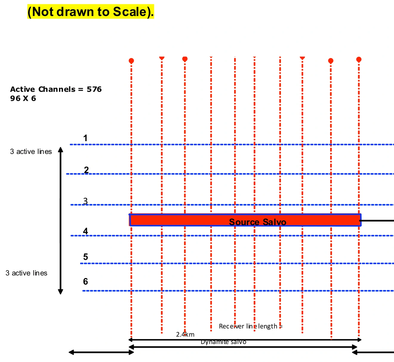
Six-line recording template
The planning schematic places 96 receiver channels on each of six active lines. It shows the source salvo within a 576-channel recording patch.
Open full size — Six-line recording template (opens in a new tab)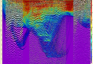
Ray-traced target illumination
Modelled ray coverage over a seismic section. The study found more ray hits in the central target area. The result depends on the survey geometry and velocity model.
Open full size — Ray-traced target illumination (opens in a new tab)