Challenge
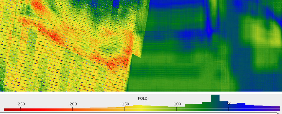
Two surveys crossed land, transition-zone and shallow-water environments. Differences in grid orientation, source and receiver systems, and sampling made it difficult to follow reflectors across the join.
VerityGeo’s work
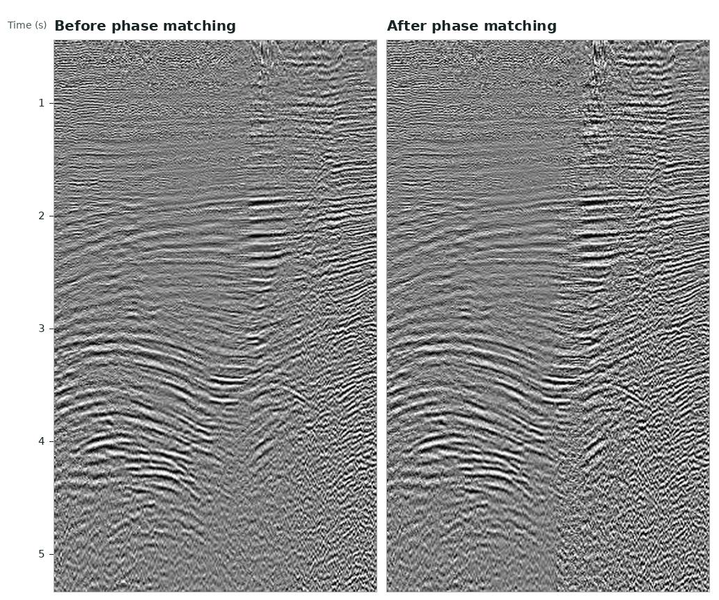
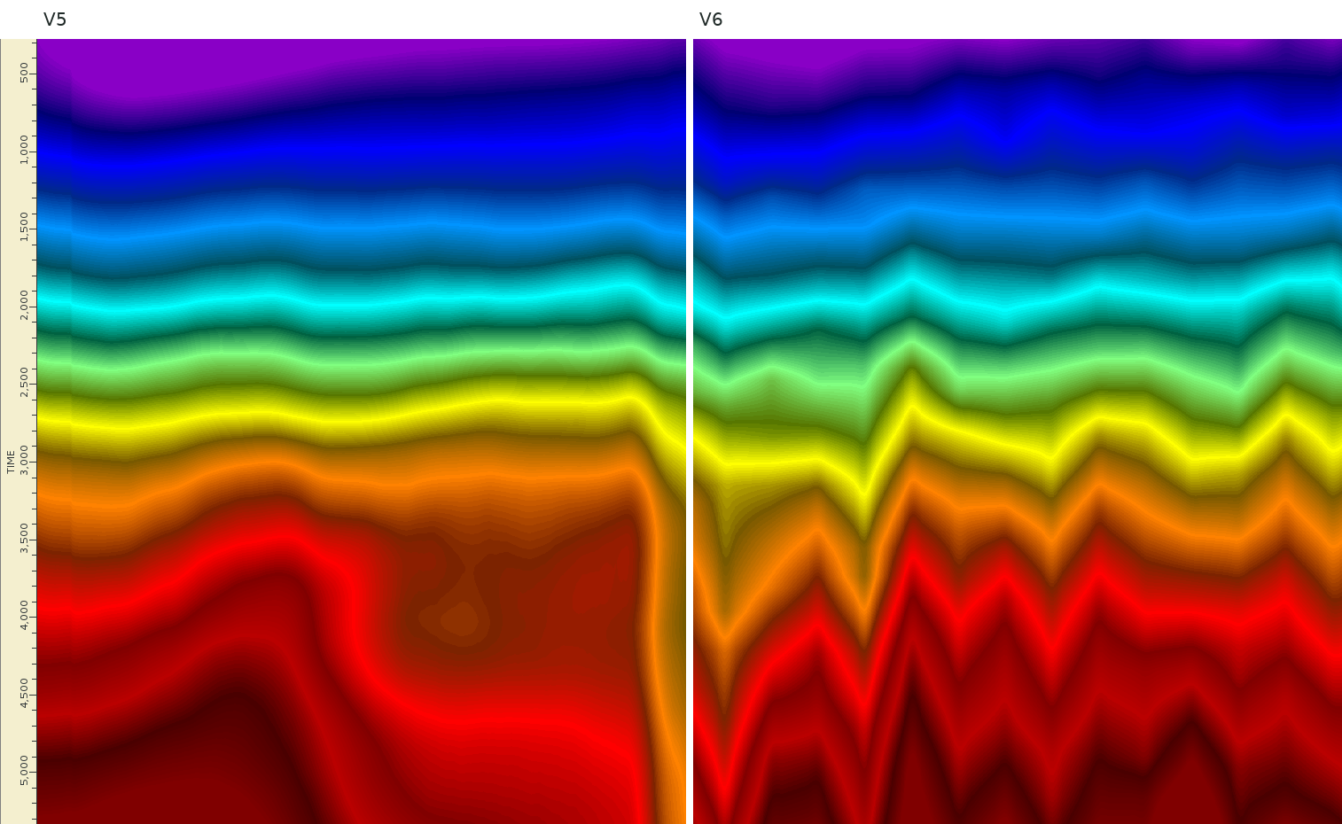
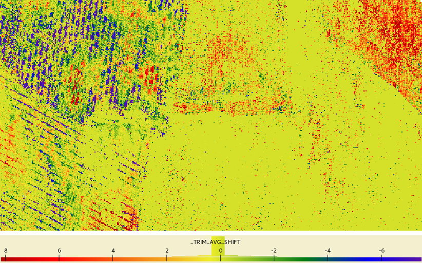
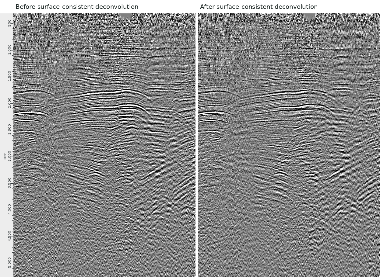
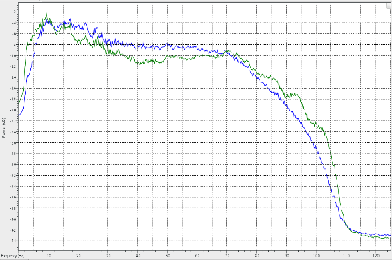
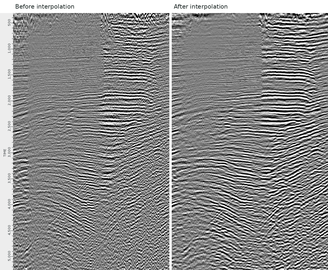
VerityGeo put both surveys on a common grid, matched their phase and spectra, and applied surface-consistent amplitude scaling and deconvolution. The team updated the velocity model, corrected residual statics and used 5D interpolation to regularise sampling before pre-stack migration.
Documented outcome
The final workstation review presented merged 3D pre-stack time- and depth-migrated results. Before-and-after stacks show the effect of deconvolution and interpolation. Post-migration conditioning addressed residual multiples, noise and acquisition footprint.